Centre of Entrepreneureship in GIS including Drone Technology in Itanagar

A geographic information system (GIS) is a system designed to capture, store, manipulate, analyze, manage, and present spatial or geographic data. In general, the term describes any information system that integrates, stores, edits, analyzes, shares, and displays geographic information.

GIS applications are tools that allow users to create interactive queries (user-created searches), analyze spatial information, edit data in maps, and present the results of all these operations. Geographic information science is the science underlying geographic concepts, applications, and systems. GIS can refer to a number of different technologies, processes, and methods. It is attached to many operations and has many applications related to engineering, planning, management, transport/logistics, insurance, telecommunications, and business. For that reason, GIS and location intelligence applications can be the foundation for many location-enabled services that rely on analysis and visualization.

Modern GIS technologies use digital information, for which various digitized data creation methods are used. The most common method of data creation is digitization, where a hard copy map or survey plan is transferred into a digital medium through the use of a CAD program, and geo-referencing capabilities. With the wide availability of imagery (from satellites, aircraft and UAVs), heads-up digitizing is becoming the main avenue through which geographic data is extracted. Heads-up digitizing involves the tracing of geographic data directly on top of the aerial imager.

Many disciplines can benefit from GIS technology. An active GIS market has resulted in lower costs and continual improvements in the hardware and software components ofGIS, and usage in the fields of science, government, business, and industry, with applications including public health, crime mapping, sustainable development, natural resources, regional and community planning, transportation and logistics.

In addition, drone technology has many interesting possibilities for proper monitoring of projects in the NER Region. Accordingly, the CoE for GIS Applications (in Itanagar) will also engage itself with this area, as GIS and drone technology have many intersecting possibilities.

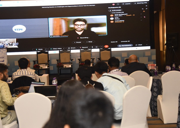
Chief Mentor

image
Shri Ankit Mehta
Co-Founder & CEO, ideaForge Technology Pvt. Ltd

Our Services

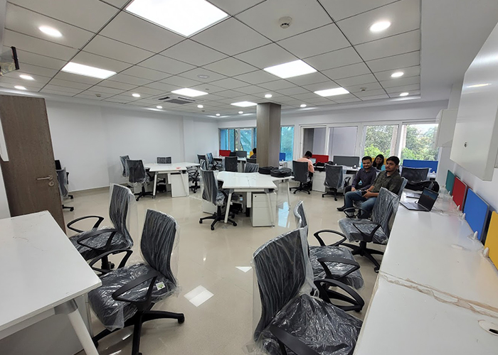
Physical Lab Facilities

  • Ready to Work Plug and Play Space.
  • Access to domain Labs.
  • High Speed Internet Access.
  • Network Operation Center (NOC).
  • 24 x 7 x 365 days Operational work space.
  • Round the clock security.
  • Dedicated team /Support round the clock.

Direct funding support to the units

Under the present proposal, direct funding support will be extended to the units, which can be used by them to defray part of their costs such as cloud hosting and services, cost of engagement of mentors, IPR creation, seed capital, cost of marketing etc. The above direct support will enable the robust incubation of start-ups in emerging technologies, as well as productive innovation activities.

The support will be extended in stages as follows (on per unit support):

  • Proof of Concept – Rs. 5.00 lakh
  • Prototype – Rs. 15.00 lakh
  • Marketing – Rs 5.00 lakh

Incubation & Co-Working Facilities

  • CoE shall monitor and guide start-ups through dedicated portfolio managers and start-up support executives.
  • CoE shall review and monitor the progress/performance of start-ups periodically and take necessary action as and when required in coordination with PMC.

Technology and Business Mentoring

  • Mentors shall identify specific needs at specific time like prototyping/design vendors, small - scale manufacturing vendors, large - scale manufacturing vendors etc. and makes best efforts to connect the start-ups with such ecosystem players.
  • Full-time resource presence and organizing peer meetings with mentors at regular intervals.
  • Train/educate start-ups in the fields of research, user experience and business technology courses with cutting edge programming and deep-tech applications.
  • Support the start-ups for developing Proof of Concept (PoC), provide mentoring for designing & development and help start-ups to convert their idea into a reality.
  • Transforming the start-ups from idea level to Prototype level, Prototype level to MVP (Minimum Viable Product) level, MVP level to GTM (GoToMarket) level and graduating the start-ups into full-fledged company status.
  • Providing a multidisciplinary approach in developing innovative products based on identified business challenges.
  • Support for developing, enhancing and piloting start-ups prototype and business model in a collaborative environment.
  • Conducting need-based mentoring sessions on legal, compliance, branding, cyber security, domain technologies etc.

Marketing, Networking and Outreach

  • Beneficiary incubatees of the CoEs under OctaNE shall be included in marketing knowledge sessions, conducting road shows, networking events, social media outreach.
  • International events/programs shall be organized to attract global visibility.
  • CoE's end-to-end marketing plans will place your start-up on the global map.
  • Partnerships with key international promotional agencies shall be carried out for cross border collaboration.

Access to Funding and Investment

CoE shall support and guide start-ups for raising funds towards PoC, MVP and Marketing as well as scaling up through grants, equity and debt by leveraging connections with potential customers and CSR/Corporate sources as well as angels, High Net worth Individuals (HNIs) and VCs as per appropriate size of start-ups.

IPR related support services

STPI has signed MoU with M/s NRDC (National Research and Development Corporation) for filing Intellectual Property Rights such as Patenting (Drafting & Filing), Trademark, Copyright and any other IPR related support/legal/statutory support.

Additional services

  • Administration
  • Human Resources (HR)
  • Finance
  • Legal
  • Others